Low Altitude Multidimensional Defense System In Key Areas
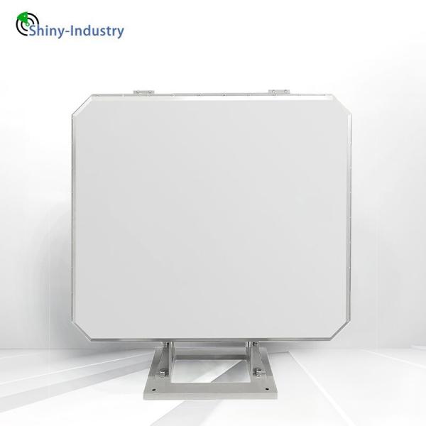
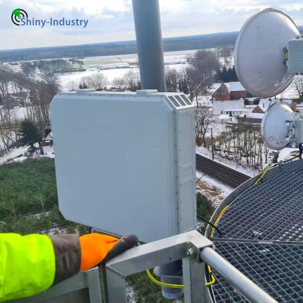
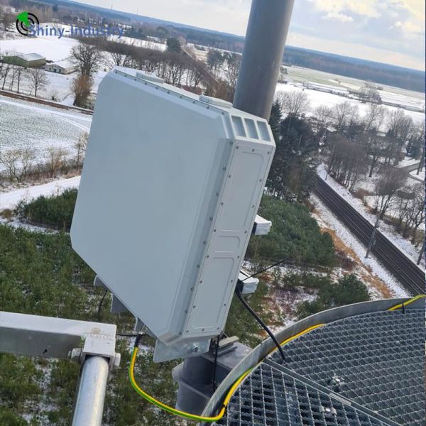
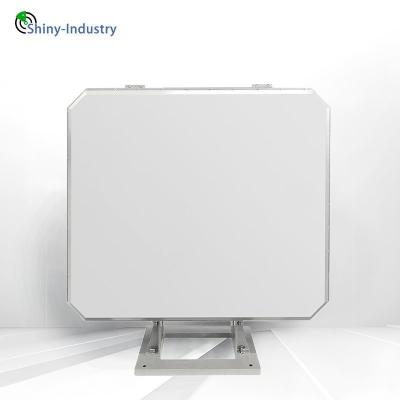
The LW-R25-K three-coordinate early warning radar is an exceptional low-altitude, small-target surveillance system that represents a pinnacle of advanced technological development and outstanding performance. Employing cutting-edge radar technologies, such as fully coherent pulse Doppler technology, microstrip patch array antenna technology, elevation digital beamforming technology, simultaneous multi-beam reception technology, single pulse angle measurement technology, and TWS technology, this radar pioneers active phase scanning both horizontally and vertically. It showcases rapid beam scheduling, high data throughput, superior angular resolution, and precise altitude measurement. This radar is an indispensable tool for airspace surveillance in high-stakes areas, including border protection, coastal surveillance, oil and gas exploration sites, oil storage facilities, critical infrastructure like bridges and reservoirs, nuclear power stations, and more.
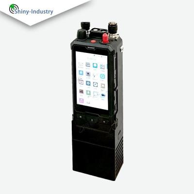
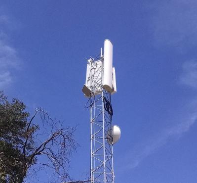
Our cutting-edge low altitude defense system for crucial areas is a seamless integration of high-tech components, including sophisticated surveillance radar, state-of-the-art passive radio detection tools, multispectral electro-optical cameras, fixed unmanned jamming aircraft, personal handheld jamming guns, and comprehensive data gathering and processing centers. Crafted for ease of installation and disassembly, this system boasts unparalleled deployment flexibility. It can delineate warning zones, alarm zones, and restricted fly zones within its detection scope. With a fusion of advanced detection technologies, it offers real-time, omnidirectional monitoring across multiple frequency bands, ensuring there are absolutely no blind spots. This comprehensive solution is designed to thwart unauthorized access by unmanned aerial vehicles, powered parachutes, gliders, and helicopters into sensitive zones such as airports, oil and gas fields, oil depots, border regions, nuclear power facilities, bridges, reservoir dams, critical government installations, major conference venues, and more.
project | index |
Working frequency range | X-band: 9.22GHz-9.48GHz |
minimum range | 1000m |
Low altitude target monitoring mode | ≥ 25km (RCS=1m2 coverage height of 2600m) |
measurement accuracy (RMS) | Distance measurement accuracy: 10m azimuth angle measurement accuracy: 0.2 ° elevation angle measurement accuracy: 0.3 ° |
Electric scanning range | Orientation: ± 45 ° Pitch: ± 10 ° |
Tracking data rate | ≤3s |
Multi objective capability | ≥ 200 batches |
anti-interference ability | Anti ground clutter improvement factor>45dB Anti meteorological clutter improvement factor>30dB Equipped with sidelobe masking function |
reliability | MTBF>5000h |
consumption | ≤600w |
size | 650mmx600mmx200mm |
weight | ≤65Kg |