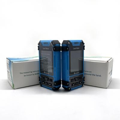
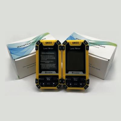
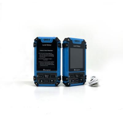
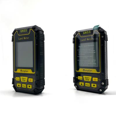
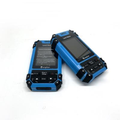
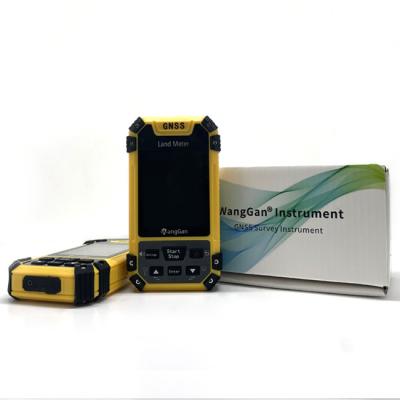
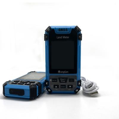
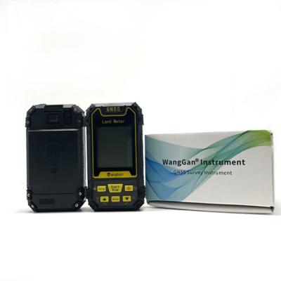
High Accuracy Agriculture Farm Land Measuring Machine GPS Land Measuring Instrument
Main Features and Benefits:
It measures the length, width and area of the farm through satellites, and also has the function of unit price set and fare calculating.
The product has been widely used in many agricultural activities for its creative handheld design and high performance and price ratio.
Function:
various terrain areas measurement,distance measurement,land price calculation,Longitude and latitude measurements,altitude measurement.etc.
Application scene:
Agricultural Machinery Operation,field seeding fertilizer&medicine calculation,field survey.etc.
Support:
voice broadcast,real time graphic display,data importer to computer.etc.
Product Parameters of Handheld GPS Survey Equipment:
Receiver Antenna | Taimeng Passive Large - Size flat plate antenna | ||
Positional Time | Hot Start Time: one Second; Cold Start Time: 30 Seconds | ||
Positional Accuracy | Within 2 Meters (HDOP Value Less Than 1.0) | ||
Area Accuracy | Measurement error is not more than 0.03 Mu (1-3 Mu), 2% (More Than 3 Mu) | ||
Distance Accuracy | Within one Meter (When HDOP value is less than 1.0 measure the length of 100 meters) | ||
Functional Characteristics | Coordinate Measurement, Route Edit, Track Record, Navigation Function,Altitude Measurement,Area Measurement, Distance Measurement,Lofting Function | ||
Data Statistics | Area Statistics, Distance Statistics | ||
Area Record | 99 pieces | Waypoint Record | 2000pieces |
Distance Record | 99 pieces | Track Record | 100pieces |
Route Record | Maximum Number Of Editions 200, Single Route Up To 400 Points | ||
Track Display | The trajectory will be displayed in real time during the measurement process,and the past measurement figures can also be viewed in the statistical records. | ||
Barometric Altimetry | About one meter (Barometer measurement, absolute altitude needs to be calibrated) About 10 Meters (GPS Measurement, HDOP value below 1.0) | ||
HDOP Settings | User-Defined HDOP Setting | ||
Display Screen | 2.4 Inch, outdoor high- definition black-and-white screen | ||
Working Temperature | -20"C ~65"C | ||
Storage Temperature | -40"C~75"C | ||
Device Size | 117mm*61mm*20mm | ||
Device Weight | 120 g (Battery Free) | ||
Data Interface | USB Interface, Which Can Be Charged Through This Interface | ||
Data Export | √ | ||
Standard Configuration | Host*1,Lithium Battery* 1, Charger*1,Data Cable*1, Lanyard*1, Manual*1,Warranty Card*1, Package*1 |
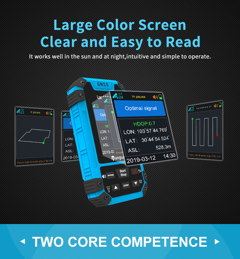
GPS Machine Interface Display:
The Function of Lofting:
Four Patterns:
1. (Select Points) Select existing navigation points as lofting points.
2. (Equal Division) Setting the number of lofting points,generate equal distance lofting points automatically.
3.(Equal Distance) Setting the distance,generate lofting points automatically.
4. (User-defined Distance) Setting the distance of the single segment,generate lofting points.
Measuring of GNSS GPS Survey Equipment:
First, press up and down button to choose a measuring mode;
1. Normal mode : at the starting point, press [Start/Stop] button to measure in the main surface; return to the starting point in a circle around the
ground, press the [Start/Stop] button to pause the measurement data. Press the power button to end measurement and save data.
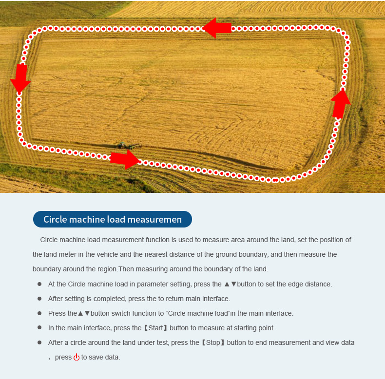
2. Circle Machine Load :First, set Circle value number in Parameter setting. And put this equipment in the car from a position which is the nearest
to the edge. Press [Start/Stop] button to start measuring while working.Press [Start] to go on when it’s not finished. Press the power button to end
measurement and save data.
3. Fixed Width Mode : First, set width number in Parameter setting. And press [Start/Stop] button to start measuring at the starting point. Walk to
the under line then press [Start/Stop] button to pause and check the data; press the power button to end measurement and save data.
4. Fixed pointed Mode : at the starting, press [Start/Stop] button to start measurement, then press [enter] button to make one corner point; then
walk along the edge to the next corner, and press [enter] button at every corner to collect information of each corner. At last, press the [Start/Stop]
button to view the measurement data; press the power button to end measurement and save data.
5. L/W mode : at the starting point , press the [Start/Stop] button to measure,and press the [enter] button to save information; Going from point to
another point, press the [enter] button to save information; then going from this point to the finial point, press the [enter] button to save
information; at last, press the [Start/Stop] button to view the measurement data; press the power button to end measurement and save data.
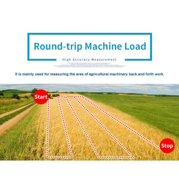
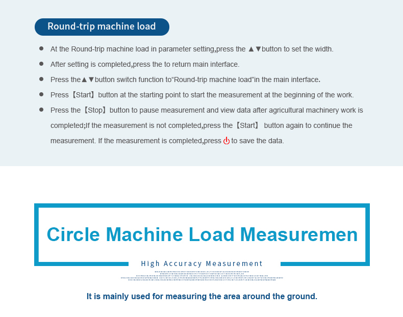
6. Round-trip Machine Load : In this mode, you could measure the area while the farm machine’s working. First, set the value number in
Parameter Round-trip setting. Then press [Start/Stop] button to start measuring while working. Press [Start/Stop] button to check when working is
done. Press [Start] to go on when it’s not finished. Press the power button to end measurement and save data.
7. Normal distance Mode : In this mode you can do distance measurement, at the starting point, press the [Start/Stop] button to start measuring.
And walk along the measuring line to the final point. Press the [Start/Stop] button when you reach the final, press the power button to end
measurement and save data.
8. MultiPoint Mode : In this mode you can do distance measurement that fits all kinds of flat terrain. At the beginning, press [enter] button to save
starting point, walk to the next point and press [enter] to save this point; press the power button to end measurement and save data.